Local Heritage and Revolutionary Pride
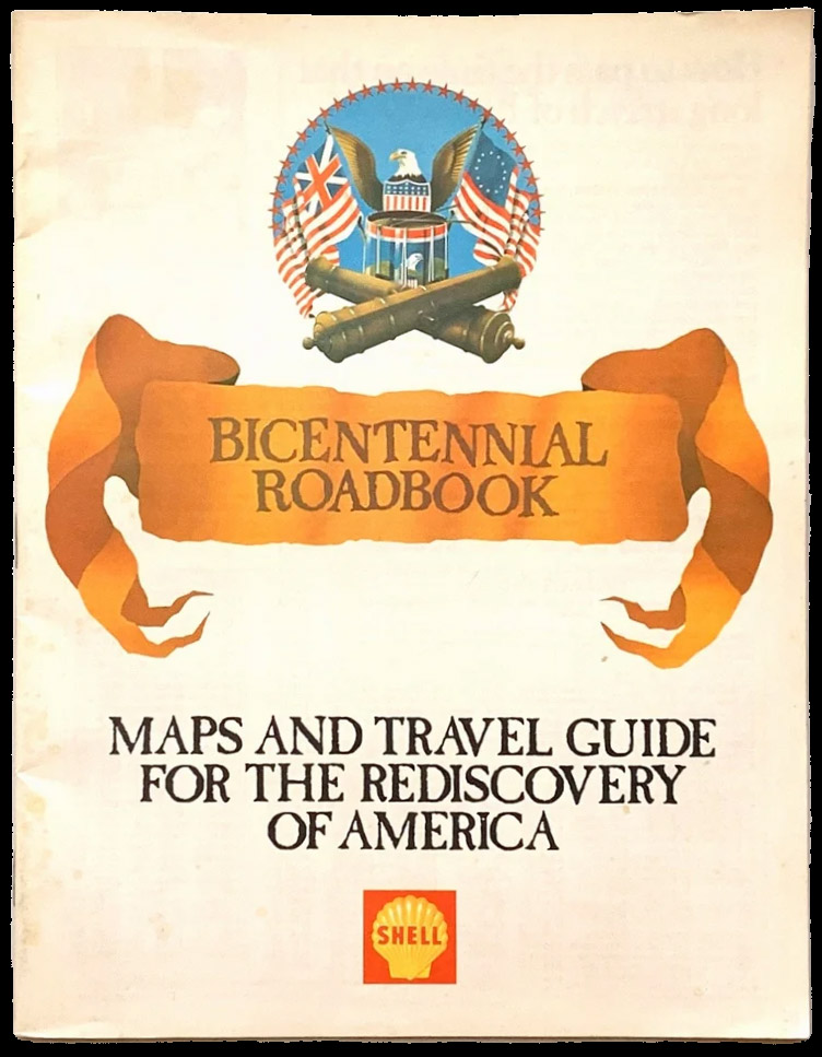
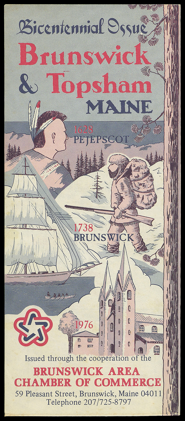
Both of these objects demonstrate the way some standard cartographic items like road atlases and local area maps were branded with the American Revolution Bicentennial seal in 1976 but in actuality had few connections to the Bicentennial beyond a title or cover image. Aside from a short introduction mentioning Bicentennial events happening across the country and the need to engage in revitalization efforts (as well as a promotion for their sponsorship of the 200 Years Ago Today series of 1-minute informational clips on CBS), the Shell Bicentennial Roadbook is otherwise a typical road atlas. The map of Brunswick and Topsham, issued annually by the Brunswick Area Chamber of Commerce, includes a regional map and advertisements for local businesses. The front cover of the map, however, demonstrates both the progress narrative of the United States and how easily it can be established: The Wabanaki presence at Pejepscot is replaced by a white settler and a renaming to Brunswick, followed by the establishment of “civilization” here signified by the Bowdoin College Chapel, built in the 1850s.
Corporate Celebrations
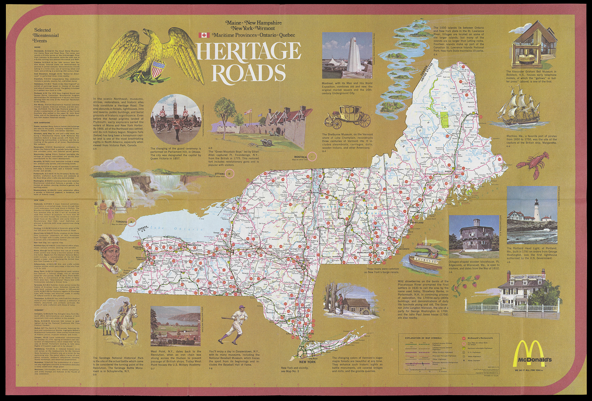
Throughout the 20th century, corporations like oil companies and fast-food restaurants increasingly published maps to encourage people to explore the country and, at the same time, buy their products while traveling the nation by car. When the Bicentennial came around, these corporations incorporated the nation’s 200th birthday into their marketing campaigns. At their root, these are road maps for specific regions of the country (in this case, portions of New England) framed by narrative snippets that highlight Bicentennial-related events and heritage sites worth a side trip. Heritage Roads, distributed by McDonalds, specifically highlights well known places like Niagara Falls and Portland Head Light, while also drawing attention to more regional sites that might not be known outside of New England, such as Fort Edgecomb and Strawberry Banke. Viewers will note the inclusion of McDonald’s markers throughout the road map; while one traveled to these sites, they could stop to get a Happy Meal for the kids or a Big Mac for themselves. As the McDonald’s logo says in the lower right corner: “We Do It All For You.”
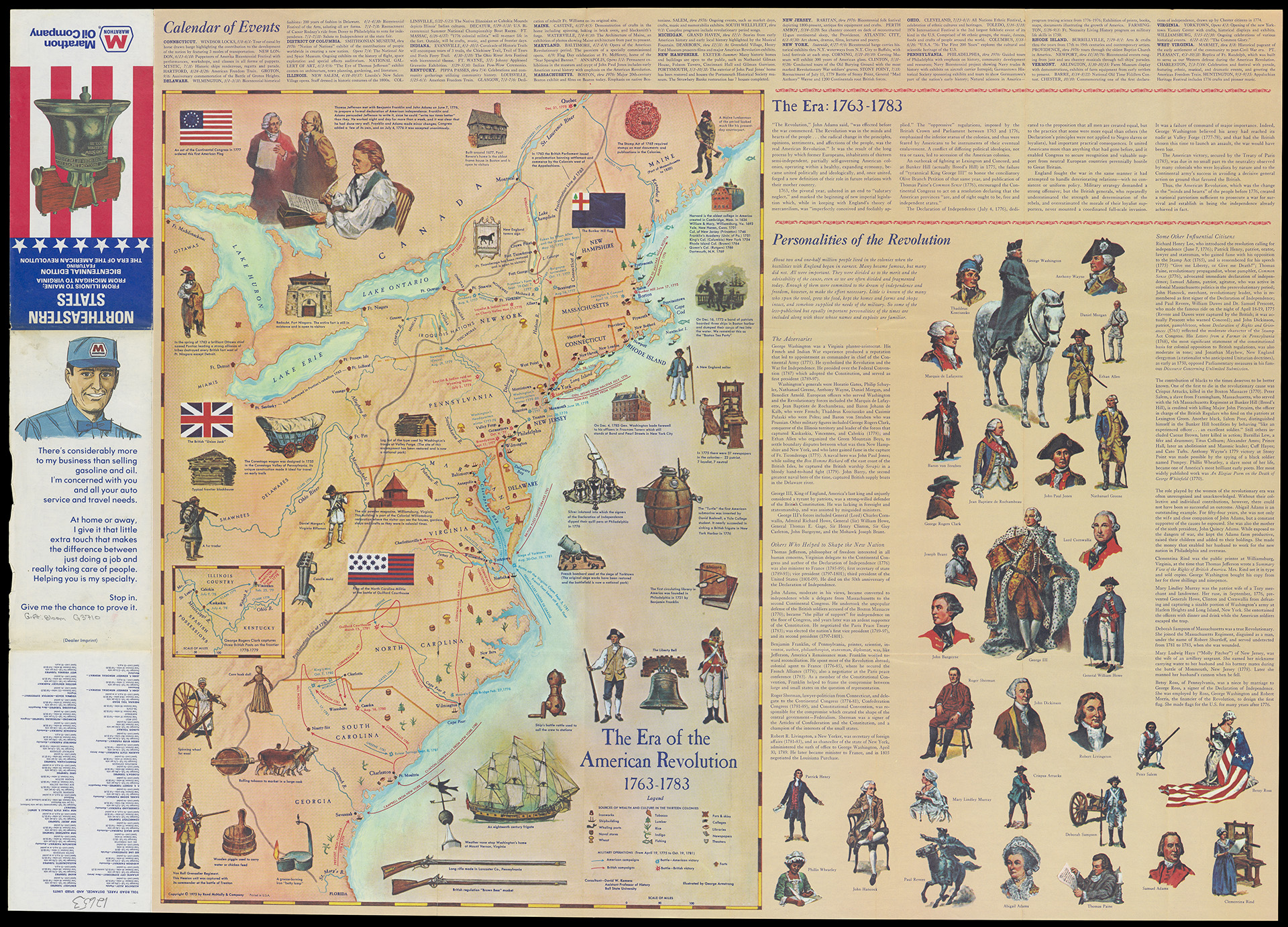
The road map of Northeastern States was sponsored by Marathon, an oil and gas company . Unlike some of the other road maps on display, this one was superimposed onto a historical map created by Rand McNally three years prior called The Era of the American Revolution, thus making it a piece of Bicentennial ephemera. Like other road maps of the era, the map includes information about scheduled Bicentennial events broken down by state. The historical map focuses on major battles of the American Revolution, as well as factoids related to the time period, like an image of the silver inkwell used by the signers of the Declaration of Independence, and an image of a spinning wheel.
Unlike the majority of maps in this exhibition, The Era of the American Revolution addresses both African American and women’s contributions to the Revolutionary era, even referencing the limitations of the Declaration of Independence for African Americans. The narrative also notes that the Americans benefitted from the lack of a full assault by the British. Instead of the colonial victory being depicted as an outcome of American ingenuity, the map’s narrative implies there was some luck involved. Finally, this work ties into the idea that the Bicentennial was not just about heritage, but also about action and an encouragement to have citizens live the values of the United States’ founding and to reunite in a fractured time. The section titled “The Era: 1763-1783” begins with a John Adams quote that “the radical change in the principles, opinions, sentiments, and affections of the people, was the real American Revolution” and mentions, for those reading the map in 1976, the importance of uniting as one country instead of thirteen separate colonies.